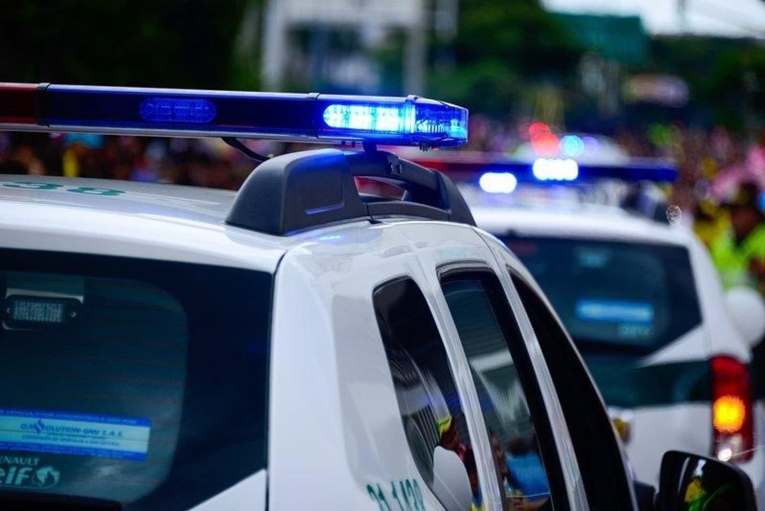
Geotab is the most advanced fleet management solution for emergency services like ambulances, police, first responders, and fire departments looking to transform operations and ensure the safety of drivers and civilians.
Complete
Visibility of Your Police Units
Enhance response times by dispatching the closest police vehicles to emergency locations with Geotab's active tracking feature.
Automate the Activation of Safety Equipment
Connect light bars, weapon racks, sirens, and more directly to the GO device through the IOX expansion port to monitor their usage.
Record and View Everything During an Event
Discover how Geotab's emergency vehicle cameras can provide a comprehensive security and real-time monitoring solution for your fleet of police cars, fire trucks, and ambulances.
Reduce Collisions with Predictive AI Technology
AI-powered cameras can predict imminent collisions and provide instant in-cabin feedback, ensuring drivers have enough time to react and avoid accidents.
Second-by-Second
Vehicle Tracking
Remotely monitor the status and condition of your rapid response vehicles. Set up immediate alerts for entering or leaving a geofence, temperature, and light changes, impacts, and other critical thresholds.
Most Relevant Uses
Police Ambulances Firefighters
Would you like to manage your fleet with telematics
data?
Request a demo, and we'll show you how easy it is to ensure safety with Geotab's technology.
